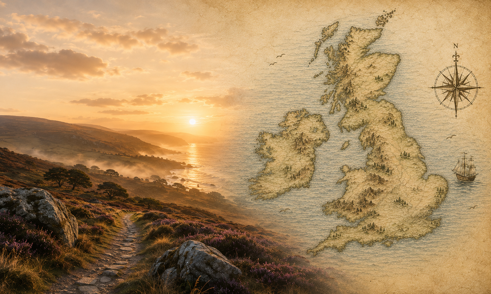
Click a marker to explore a literary or cultural location.
A narrative-led map of cultural, literary, heritage and dark tourism locations across the UK. Discover the stories behind the places — from plague outbreaks to shipwrecks, battlefields to literary landscapes.
Built as an independent project. Currently in prototype stage, expanding nationally.
Battlefield polygons, protected wreck polygons and battlefield data are sourced from the National Heritage List for England (NHLE), published by Historic England under the Open Government Licence v3.
© Historic England 2026. Contains Ordnance Survey data © Crown copyright and database right 2026.
Historic England Open Data Hub ↗UK plague outbreak locations (1348–1670) are sourced from the digitised Biraben dataset published by Büntgen & Ginzler (2019) via EnviDat, licensed under the Open Database Licence (ODbL).
Büntgen, U. & Ginzler, C. (2019). Digitizing historical plague. EnviDat. doi:10.16904/envidat.181
EnviDat dataset page ↗Tree location data sourced from Wikidata, licensed under CC0 (no restrictions). Narrative content researched and written by [Site Name]. Coordinates verified via Wikipedia and Wikidata.
Wikidata contributors. Tree and woodland data. Wikidata (CC0).
Wikidata ↗ Ancient Tree Inventory — Woodland Trust ↗ Ancient Tree Forum ↗ Woodland Trust ↗Map tiles provided by OpenStreetMap contributors, licensed under the Open Database Licence (ODbL).
© OpenStreetMap contributors
OpenStreetMap copyright ↗Place descriptions and Wikipedia links sourced from Wikidata, licensed under CC0 (no restrictions).
Wikidata ↗For partnership and advertising enquiries, or to suggest a location for the map:
hello@devonculturalmap.co.ukWe offer local partner listings for businesses, heritage organisations, accommodation providers and tour operators. Reach visitors actively exploring cultural and heritage locations.